
Maps, activities, tips and resources to help you walk, wheel, and cycle in rural Lanarkshire
Discover Trails Get Active Travel MapsDiscover trails made by local communities of the Lanarkshire Area. Or add your own for others to explore.
Go To Trails Create a TrailScroll to explore Trails
The Braidwood Telescope (including Fiddler Gill and the Lee Valley)

4.11
km
Medium
The Old Railway Line to Wilsontown

5.36
km
Medium
Garrion Gill

2.39
km
Medium
To the source of the Belstane Burn

6.73
km
Medium
Round the Burnside

1.53
km
Easy
Round the Newark

3.37
km
Medium
Spectacle E'e

3.22
km
Medium
The Allan's and the Broo

5.17
km
Easy
The Horse Pool

4.87
km
Medium
Cander Bridge to Double Dykes (and the Meeting of the Waters)
.jpg)
5.07
km
Medium
Make Your Way to Active Travel
Read about benefits of being more active and about the project
Read More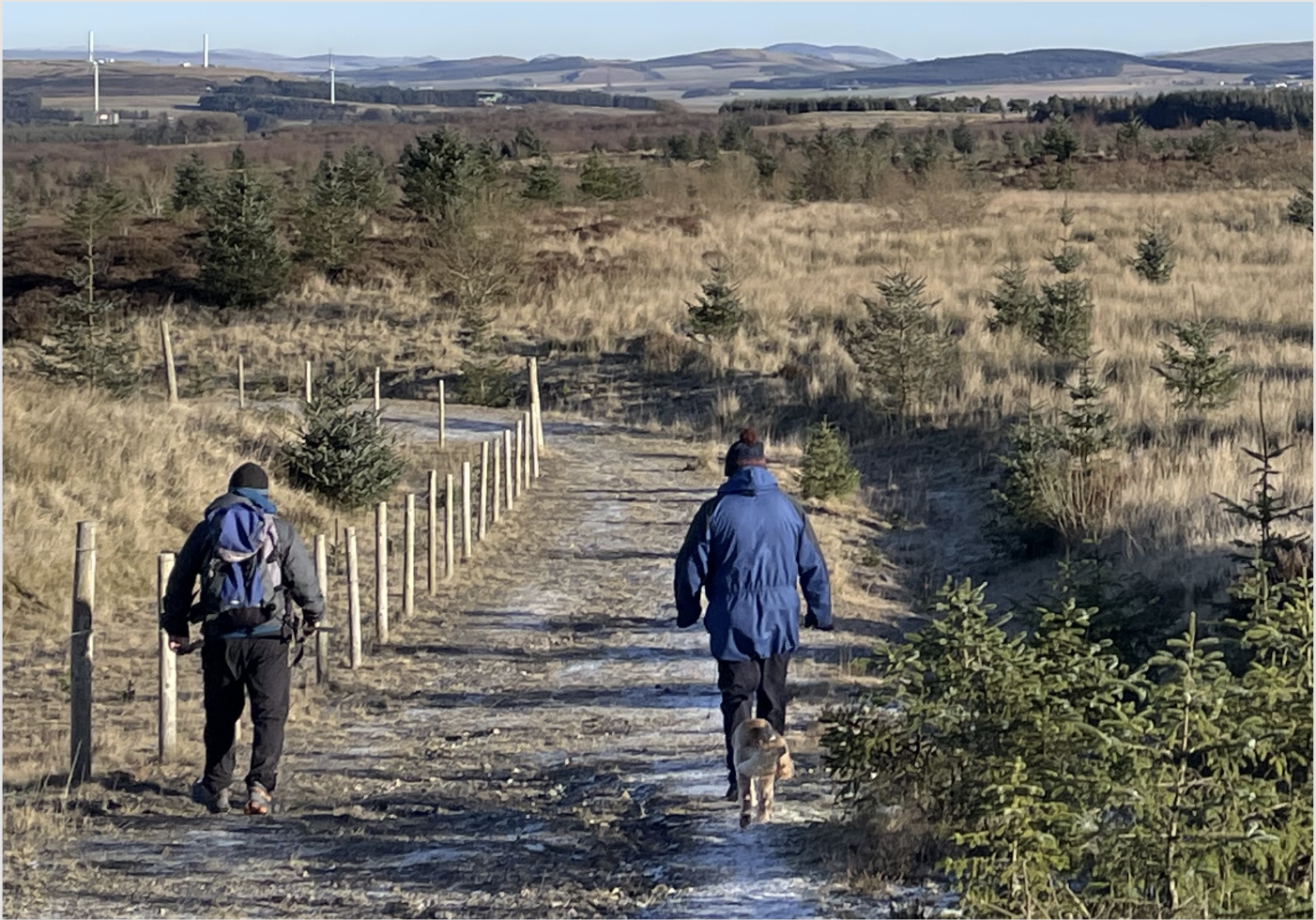
Download the Active Travel Maps
Created in collaboration with local communities, these Active Travel maps highlight walking, wheeling and cycling routes known to local people. The maps can be used for practical journeys, leisure and exercise and show points of interest, local place names and suggested trails.
Click below to download the maps and discover each area.


