
Maps, activities, tips and resources to help you walk, wheel, and cycle in rural Lanarkshire
Discover Trails Get Active Travel MapsDiscover trails made by local communities of the Lanarkshire Area. Or add your own for others to explore.
Go To Trails Create a TrailScroll to explore Trails
From the Heron to Muirhead Farm

6.96
km
Medium
Chapelton to Nethershields loop
.jpg)
4.46
km
Easy
Drumclog to Battle of Drumclog

7.53
km
Medium
Sandford/Stonehouse Brewbarn walk

9.83
km
Medium
Wallace's Cave

3.51
km
Medium
Strathaven Street Walk
3.0
km
Easy
**NEW** Coalburn to Poneil Cycle loop using new Active Travel Path

14.1
km
Medium
Old Railway Walk

6.54
km
Medium
Doon the Grounds co-curated with P6/7 pupils from Douglas Primary School

2.91
km
Medium
Coalburn and the Old Bogie Line co-curated with P5/6 pupils from Coalburn Primary School.

2.99
km
Medium
Make Your Way to Active Travel
Read about benefits of being more active and about the project
Read More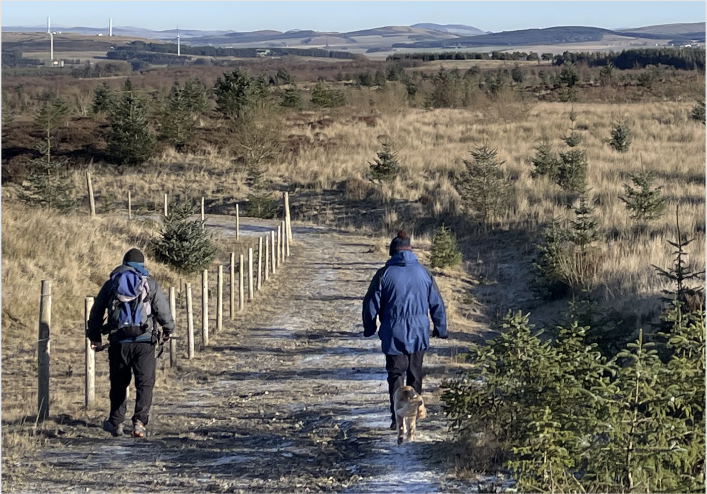
Download the Active Travel Maps
Created in collaboration with local communities, these Active Travel maps highlight walking, wheeling and cycling routes known to local people. The maps can be used for practical journeys, leisure and exercise and show points of interest, local place names and suggested trails.
Click below to download the maps and discover each area.


